Topography with RocketPy
Hello, along this jupyter notebook we will show how RocketPy can handle with the Earth Topography. We mainly will use data provided by the NASADEM Merged DEM Global 1 arc second nc.
NASADEM is a digital elevation model based on the Shuttle Radar Topography Mission (SRTM), a collaboration between NASA and the National Geospatial-Intelligence Agency (NGA), as well as participation from the German and Italian space agencies. You can read more about NASADEM at: https://cmr.earthdata.nasa.gov/search/concepts/C1546314436-LPDAAC_ECS.html
This is a first step forward stopping consider Earth as flat and can get us much better results when we are flying next to mountains or valleys
Initialization
First of all, we import the Environment Class, which allows to set topographic profiles
[1]:
from rocketpy import Environment
For example, let’s set an Environment consider a fictional launch at Switzerland. First we need to set the basic information about our Environment object
[2]:
Env = Environment(railLength=6, latitude=46.90479, longitude=8.07575, datum="WGS84")
Obs.: Notice that the datum argument is used only for the converting from geodesic (i.e. lat/lon) to UTM coordinate system.
Set topography
Now we finally set our topography
[3]:
Env.setTopographicProfile(
    type="NASADEM_HGT",
    file="../../data/sites/switzerland/NASADEM_NC_n46e008.nc",
    dictionary="netCDF4",
    crs=None,
)
Region covered by the Topographical file:
Latitude from 46.000000° to 47.000000°
Longitude from 8.000000° to 9.000000°
Find the launch site elevation
Once we defined the topographic profile, we can find the launch site elevation
[4]:
elevation = Env.getElevationFromTopographicProfile(Env.lat, Env.lon)
And finally set the elevation to the Environment object:
[5]:
Env.setElevation(elevation)
Visualize information
Now we can see the elevation that we’ve set, as well as other important attributes of our Environment object. We do that by running the .info() method:
[6]:
Env.info()
Launch Site Details
Launch Rail Length: 6 m
Launch Site Latitude: 46.90479°
Launch Site Longitude: 8.07575°
Reference Datum: WGS84
Launch Site UTM coordinates: 886538.30 E 5207102.17 N
Launch Site UTM zone: 31T
Launch Site Surface Elevation: 1565.0 m
Atmospheric Model Details
Atmospheric Model Type: StandardAtmosphere
StandardAtmosphere Maximum Height: 80.000 km
Surface Atmospheric Conditions
Surface Wind Speed: 0.00 m/s
Surface Wind Direction: 0.00°
Surface Wind Heading: 0.00°
Surface Pressure: 838.84 hPa
Surface Temperature: 277.98 K
Surface Air Density: 1.051 kg/m³
Surface Speed of Sound: 333.86 m/s
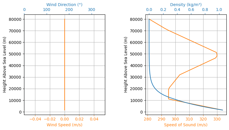
Atmospheric Model Plots
Calculate Earth Radius at latitude
If we want to, we can calculate the Earth radius based on the launch site latitude
[7]:
eRadius = Env.calculateEarthRadius(Env.lat, Env.datum)

print(
    "The Earth radius at latitude {:.6f}°:  {:.2f} km".format(Env.lat, eRadius / 1000)
)
The Earth Radius at latitude 46.904790°: 6366.78 km